Accra, Ghana · Drone training & aerial services

Your eyes
in the sky.

Ally Drones gives Accra's builders, land buyers and building owners a clear view from above. We also train the pilots who capture it.

ALT120 M
SPD0.0 M/S
HDG045°
LAT5.6037° N
LON0.1870° W
BAT92%
What we do · three services

One trusted operator. Three ways to see more.

Pilot training, aerial mapping and building inspection, all with certified pilots, insured flights and a documented safety system. Pick a service to see it from above.

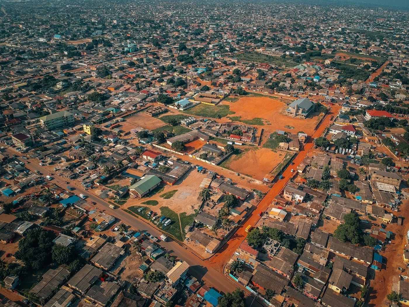
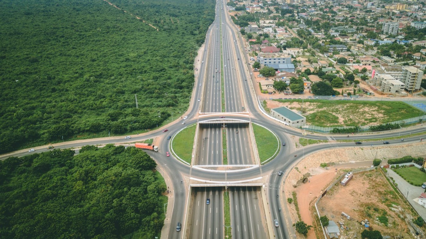
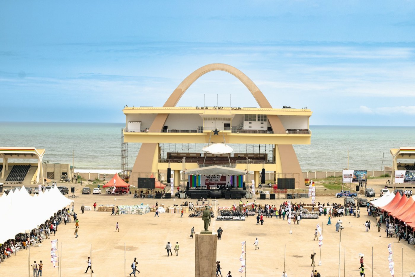
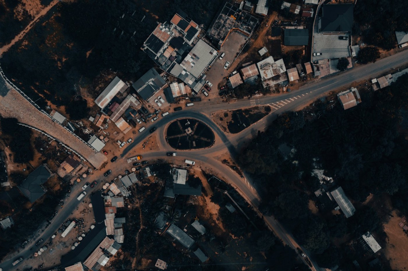
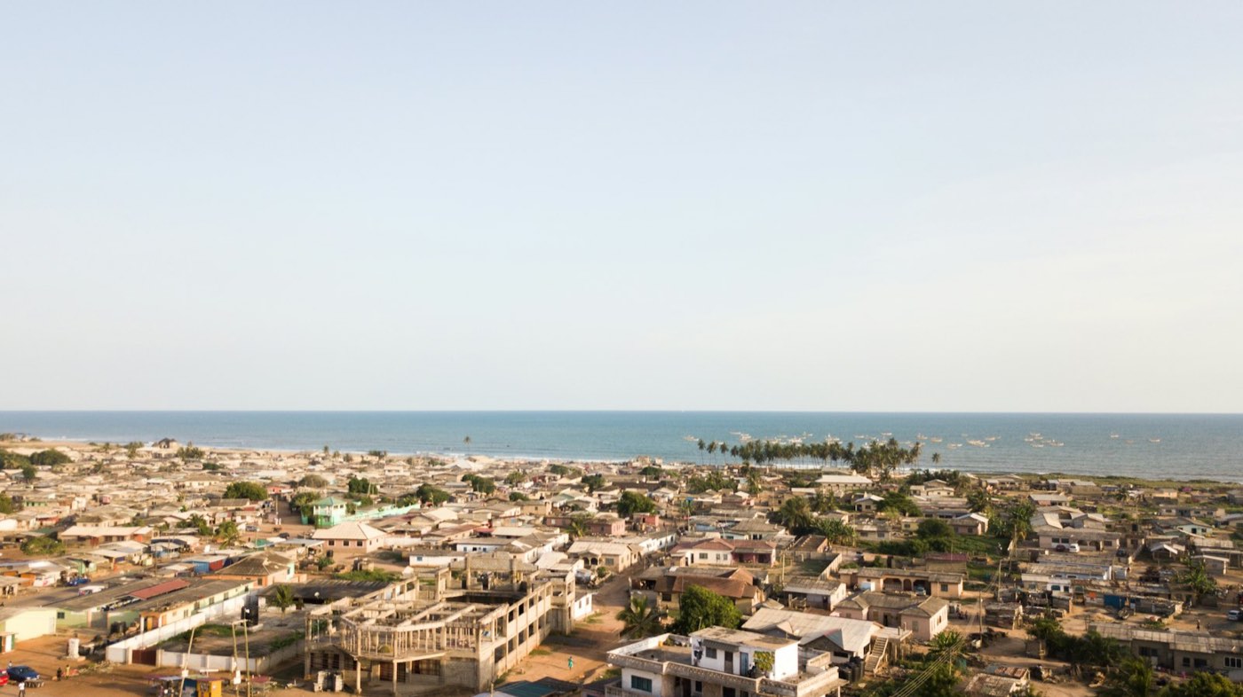
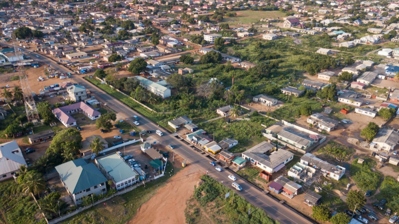
A pilot's hands on a drone controller with the live camera feed Aerial view of a motorway interchange in Accra Aerial view over residential rooftops in Ghana
Mission · Academy05.6037° N · 0.1870° W

Learn to fly, properly.

    Service 02 · Aerial mapping & progress

    See your project the way your investors want to.

    We fly a planned grid, capture hundreds of overlapping photos, and stitch them into a measured map with a date on it. Run a sample survey to watch how it works.

    Demo survey · illustrative figures
    0.0haArea covered
    0Photos captured
    75%Front overlap
    2.0cm/pxGround sample
    • Orthomosaics, 3D models and measured volumes
    • Monthly progress visits with before and after comparisons
    • Land-plot reports for diaspora buyers, made with a licensed surveyor for boundary accuracy
    Service 03 · Roof & building inspection

    No one has to climb your roof.

    Full roof and façade imagery, defect mapping with severity ratings, and an optional thermal pass for moisture. The reports are ready for insurance, maintenance budgets or a sale.

    Example markers on a sample photo. The thermal view is simulated.

    Aerial view of dense residential rooftops in Ghana
    Loupe 2.5× · Hover or drag
    Service 01 · Drone Pilot Academy · Fly with Ally

    From first flight to FPV racing.

    Ghana's hands-on drone academy. Three days, one certificate, and a new way to see the world. Anyone can learn to fly.

    Day 1
    Ground schoolAirspace, GCAA rules, pre-flight checks and safety.
    Day 2
    HandlingSimulator hours, then real field time with an instructor.
    Day 3
    Applied missionsPlan and fly a real mapping or inspection job.
    Add-on
    FPV & racing trackIndoor "tiny whoop" sessions, then outdoor FPV for schools and clubs.
    RINGS 0/8T 30.0 S
    Academy simulator · Ring run

    Fly through eight rings in 30 seconds.

    Steer with the arrow keys or WASD, or drag on the screen. Fly through the lit ring to light the next one.
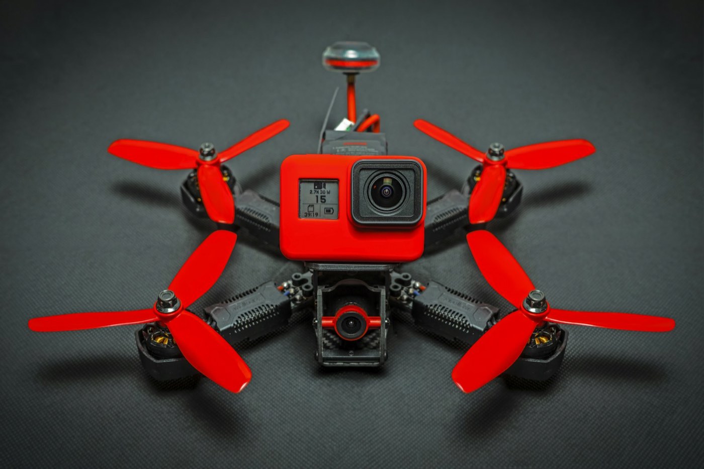
    Red FPV racing quadcopter
    FPV & racing track
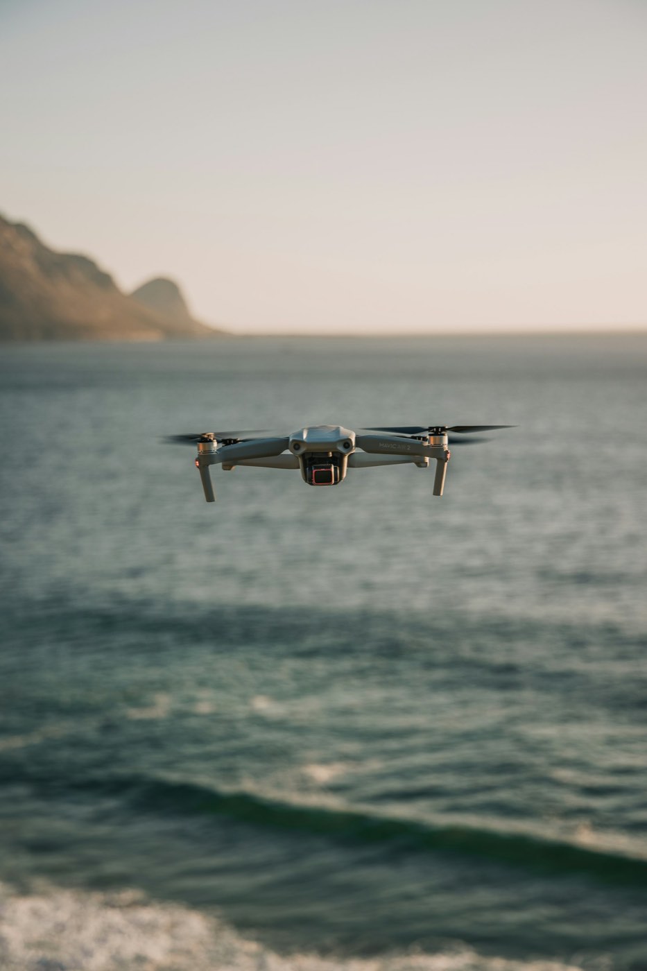
    A drone hovering over the sea
    Field sessions
    Safety, licensing & compliance

    Built to fly by the rules.

    We're completing our Ghana Civil Aviation Authority registration and operator certification. Every flight will be registered, insured and logged, with no shortcuts.

    GCAA RPAS Operator CertificateROC [no.]
    Every pilot individually licensedRPL × [—]
    Full third-party insurancePolicy [no.]
    Safety management system & emergency planDocumented
    Zero-incident flight record[—] flights logged

    Licence and policy numbers to confirm

    Contact

    Let's fly.

    Trained pilots. Trusted eyes. Ghana's skies.

    EMAIL[hello@allydrones…]
    PHONE[+233 …]
    BASEAccra, Ghana
    SOCIAL[@allydrones]
    Flight request